The Weir
12th July 2012
Journey Length 9.9ml
We began this weeks adventure right behind the disaster of the previous week, trying to find the weir that had collapsed after heavy rainfall and which had been reported in the Bolton News the week before.
Since last week we had discovered that the weir was in fact at Ladyshore, so that is where we made our first point of call, travelling along the Bury arm of the canal. Leaving the canal at Ladyshore Road we descended down the road to the site of the old Ladyshore colliery and soon noticed some marks on the cobbles, obviously from some kind of tracked vehicle possible a large excavator and in fact that is what we passed near the base of the hill.
We approached the river and descended the banking and down to a small area of pebbles by the old bridge stanchions. We followed a small path which lead us to a clearing where we saw what remained of the weir, some of the pieces of timber were huge and held together with massive nails (see photos).
The river itself had dropped about 6ft behind the weir and was flowing quite freely due to little or nothing remaining of the weir. From here we returned up the hill , where Graham became stuck in a gate, and then followed the canal towards Bury until we came across an opening in the wall and went down a path which led us to Mount Sion Road where we hoped to cross the river over the iron bridge which should have been refurbished by now , but unfortunately it was still closed , so we continued along the road until we came across on our right a pair of gate post, wondering what was beyond them we went down to explore and we soon found a path leading us down to a large stone weir which we think was for the Creams paper mill which was further down the river.
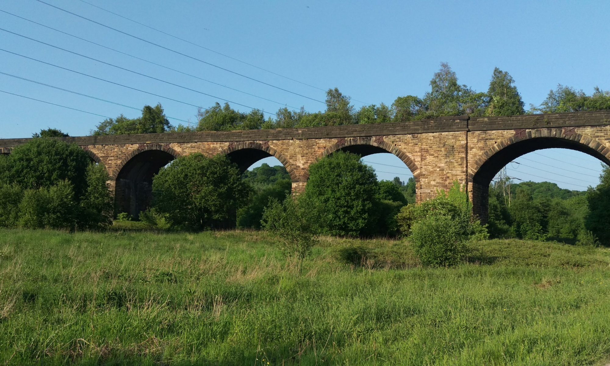
Along the road we turned right and up over Outwood viaduct and along the disused Manchester to Colne railway part of cycle route No6 and headed towards Ringley. Part way along the route we came across a steep hill down towards the area near Fat Hurst Wood, we contemplated attempting the decent but upon careful consideration we decided it was too dangerous , but Graham wanted to take a closer look to his peril (photo).
Attempting to return up the hill it became apparent he had bitten off more than he could chew, see You Tube link below.
After recovering, Graham from his injuries and damaged pride and myself from excessive laughter we continued our adventure passing through the remains of Ringley Road station, where vandals or thieves years previous had stolen a commemorative brass plaque from the platform. After a distance we took a small path leading down to Red Rock Lane, we then followed this and passed the sewage works, up along Ringley Road and the up Seddon Lane and across the pack horse bridge to the canal basin at Nob End, where unfortunately there was no sign of the swans or cygnets, now probably moved on along the canal, so we went returned up the hill and home for a well earned brew.
